Georeferencing
Need to locate your plot uniquely?
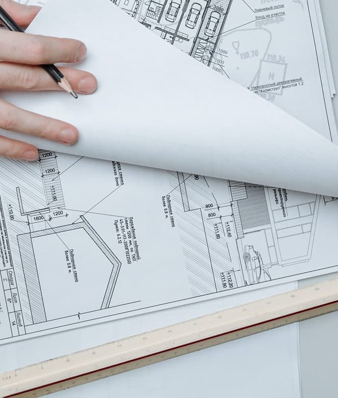
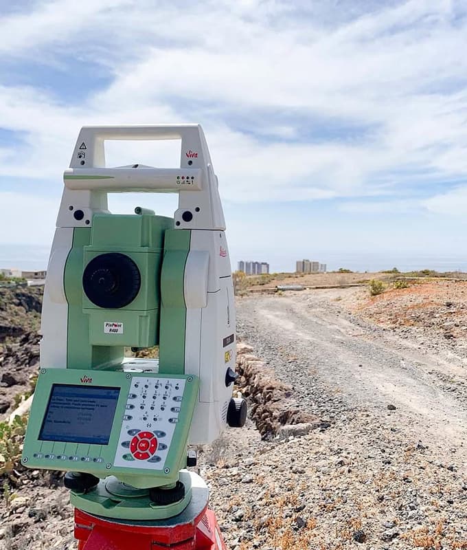
We work and help you with any type of procedure necessary to register your property in the property registry through georeferencing, using UTM coordinates. We handle the precise location and positioning of your plot using our GPS equipment. We also perform graphic validations, both for correcting your property in the cadastre for registry purposes and to verify information from neighbors who may have registered their property encroaching on yours.
Frequently Asked Questions

Let's talk about your project
Contact us without commitment and
tell us your project.