Graphical validation report
Does your property not match the cadastre?
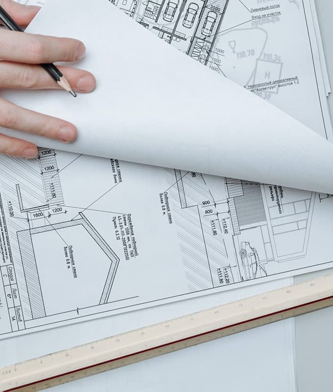
We prepare alternative graphical validation reports to adjust the cadastral representation to the physical reality of your plot.
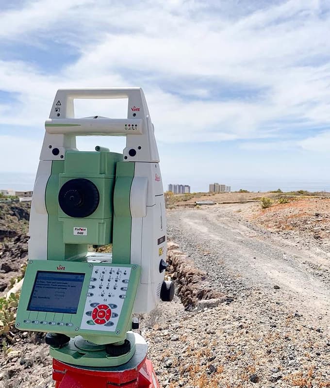
Through topographic surveys and georeferenced coordinates, we contrast official data and correct discrepancies that may affect the registration of the property.
In this way, your property will be correctly registered, avoiding conflicts with neighbors and ensuring the correspondence between cadastre, registration and reality.
Frequently Asked Questions

Let's talk about your project
Contact us without commitment and
tell us your project.